
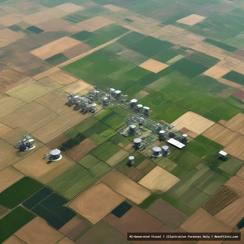
Satellite Data: A New Lens for Agriculture
In recent years, satellite imagery has become an indispensable tool for farmers and policymakers alike. By capturing high‑resolution images of vast tracts of farmland, satellites provide real‑time insights into crop health, soil moisture levels, and pest infestations. This capability is especially valuable in regions where ground‑based monitoring is limited or costly. satellite agriculture is an important part of the developments covered in this report.
satellite agriculture: What It Means and Why It Matters
According to TV BRICS, several BRICS countries are now integrating satellite data into their agricultural decision‑making processes. The platform highlights how these nations use space‑borne observations to enhance crop planning, improve yield predictions, and support food security initiatives.
India’s Ambitious Space Economy
India is emerging as a major driver of this trend. TV BRICS reports that the country has set a target of building a US$44 billion space economy by 2033. This ambitious goal is underpinned by a rapid acceleration of satellite activity across the nation.
India’s investment strategy includes launching a fleet of Earth‑observation satellites designed to monitor agricultural fields. By providing detailed data on crop development stages, Indian farmers can adjust irrigation schedules, apply fertilizers more efficiently, and mitigate the impact of droughts.
The government’s focus on satellite technology is part of a broader effort to modernize the agricultural sector. With a population of over 1.4 billion, India’s food security challenges are immense, and space‑based solutions offer a scalable approach to meet growing demand.
Regional Impact and Growth
While India leads the charge, other BRICS members are also embracing satellite data to support their own agricultural landscapes. TV BRICS notes that satellite imagery is increasingly used across the bloc to monitor crop conditions, track seasonal changes, and inform policy decisions.
In Iran, for instance, the latest agricultural year saw a 12 % rise in greenhouse exports, as reported by TV BRICS. Although the report does not detail the exact mechanisms, satellite observations can play a crucial role in monitoring greenhouse environments, ensuring optimal temperature and humidity levels for high‑value crops.
Brazil, a key player in global agriculture, also benefits from space‑based monitoring. While the specific use of satellite data is not detailed in the sources, the country’s vast agricultural footprint suggests that remote sensing is a valuable asset for managing its extensive farmlands.
Future Outlook
The integration of satellite data into agricultural workflows is set to deepen across BRICS nations. As satellite technology becomes more affordable and accessible, farmers will gain unprecedented visibility into their fields, enabling smarter resource allocation and risk management.
Moreover, the growth of the space economy in India and other BRICS countries signals a shift toward a more data‑driven approach to agriculture. By combining satellite observations with local expertise, these nations are poised to increase productivity, reduce environmental impact, and strengthen food security.
As the BRICS bloc continues to collaborate on space initiatives, the collective expertise and shared resources will likely accelerate the adoption of satellite‑based agriculture worldwide, setting a new standard for how we cultivate the planet from orbit.
Conclusion
Satellite technology is transforming agriculture across the BRICS nations. From India’s $44 billion space economy vision to Iran’s greenhouse export growth, space‑borne data is proving essential for monitoring crops, optimizing yields, and ensuring sustainable farming practices. The continued expansion of this technology promises a future where farmers have the tools they need to feed an ever‑growing global population.
Related Articles
- China and Russia Narrow Gap with U.S. in New Space Race
- Africa Accelerates Space Ambitions, Joining Artemis Accords
Original Source: TV BRICS